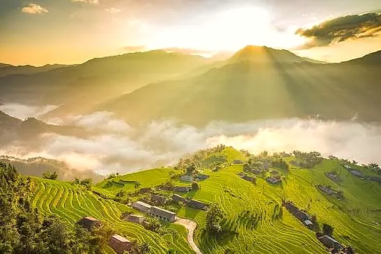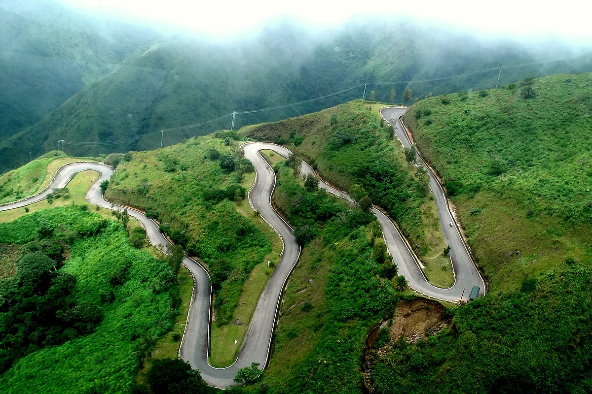
The driver stops talking somewhere around the fourth hairpin. Not out of concentration — he has done this road hundreds of times — but because the windows have gone white. On the Huế side of Hải Vân, in January, cloud sits on the mountain like wet wool. You climb into it at maybe two hundred metres and you stay in it. The temperature in the car drops enough that someone always reaches for a layer. Water beads on the outside of the glass and runs sideways.
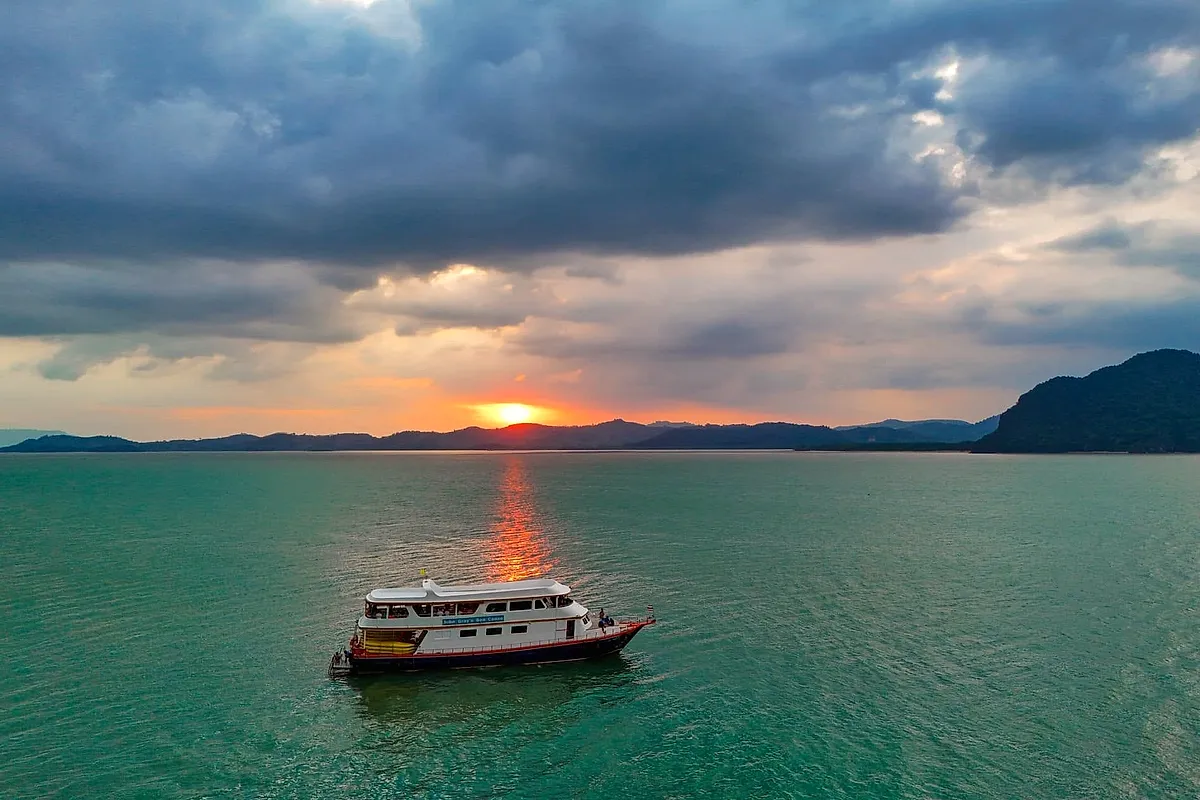
Then, usually within a minute or two of the summit, it ends. Not thins — ends. The road tips over the ridge, the cloud is suddenly behind and above you, and there is Đà Nẵng: hard sunlight, a sea the colour of a bottle held to a window, Lăng Cô's sandspit drawn thin below like a pencil line. Passengers who have spent nine days in the north tend to go quiet at that point, then start taking off jackets.
Twenty-one kilometres, two climates
This is not atmosphere. It is orography, and it is the single most consequential piece of geography on the Vietnamese coast. The Bạch Mã spur of the Annamite range runs east until it falls into the sea at Hải Vân, and from roughly September to February it stands directly in the path of the northeast monsoon. Moist air comes off the Gulf of Tonkin, hits the wall, has nowhere to go but up, cools and lets go of its water on the northern flank. Huế gets it. Huế gets a great deal of it — the wettest city in Vietnam, with a rainy season that behaves less like weather and more like a season of standing water.
Twenty-one kilometres of road later, Đà Nẵng is in the rain shadow and having a different winter altogether. The pass tops out just under five hundred metres, which sounds modest until you understand what it is doing. It is why Huế cooks with fermented shrimp paste and long-simmered broths and eats indoors under grey light for months, and why Hội An's tailors keep their doors open in February. It is also, not coincidentally, why the two cities never quite became one culture.
Vietnamese has a phrase for the mountain — Hải Vân, sea and cloud, which is about as literal a place name as you will find. Sailors used it as a landmark long before anyone paved it.
The gate that faced two ways
At the summit, in the saddle between two peaks, there is a squat brick and stone gate with grass growing out of its upper courses. Emperor Minh Mạng had it built in 1826, and its two plaques say something worth standing still for. The plaque facing north, toward the imperial capital, reads simply Hải Vân Quan — the Hải Vân gate. The one facing south, toward what was then the far frontier, reads Thiên hạ đệ nhất hùng quan: the grandest gate under heaven. Two faces, two audiences, one building. A court that understood exactly where its edge was.
And it had been an edge for a very long time by 1826. This ridge was the border between Đại Việt and Champa for centuries. It shifted south in 1306, when the Cham king Chế Mân accepted the Vietnamese princess Huyền Trân in marriage and ceded the two provinces of Ô and Lý as her bride price — a transaction that put Huế inside Vietnam and made this pass an internal road rather than a national one. The Cham towers you see later at Mỹ Sơn belong to the other side of that line.
Then the twentieth century added its own architecture. Squat concrete pillboxes sit on the shoulders of the ridge, French first, American after, gun slits still pointing down at the switchbacks. For decades the gate itself sat in an administrative no man's land, straddling the boundary between Thừa Thiên Huế and Đà Nẵng, which meant neither authority quite maintained it. Weeds, graffiti, a snack stall. The two administrations finally agreed to restore it jointly, work ran from late 2021, and the site reopened to visitors in August 2024 — the brick repointed, the later accretions stripped back, the two inscriptions legible again.
Why we still go over the top
Since the Hải Vân tunnel opened in 2005, almost nothing needs to use the pass. Six and a bit kilometres of bore, six minutes, no cloud, no hairpins. Freight takes it. Buses take it. Which is the reason the old road is now one of the calmer hours of the whole twelve days: you share it with motorbikes, a few cyclists suffering nobly, and the occasional coach.
We build the crossing into the morning of the Huế to Hội An leg deliberately, and we do not treat it as a photo stop with the engine running. The car is private and the day is yours, so the stop lasts as long as the light justifies. Our drivers on this route know which side of the summit is worth waiting on — in the cool months the cloud often lifts off the northern face by mid-morning, and standing at the gate as the valley you have just driven through reappears beneath you is a better ten minutes than any viewpoint queue. If the north side is socked in solid, we say so and press on to the sunshine rather than pretend.
Below on the southern descent, Lập An lagoon comes into view, its shallow water pegged out with oyster racks, the mountain doubled in it on a still morning. From there Hội An is a little over an hour.
Most journeys through Vietnam are described as going from north to south. On this one hour you can actually feel the country change its mind about the weather.