The cabin leaves the valley station at around 1,410 metres and the door closes on warm air. Bamboo below, the kind that grows in dense green thickets along the stream at Sín Chải, and the smell of woodsmoke still in your clothes from Sa Pa town. Eight or nine minutes later the window is cold to touch. Below the cabin the canopy has gone dark, spiky, thinned out — conifers, bent one way by wind, standing in moss that holds water like a sponge. You have not walked anywhere. You have crossed roughly a thousand metres of altitude, and with it the better part of a continent's worth of forest.
Most people ride the Fansipan Legend cable car for the summit. The summit is a stone marker, a crowd, and, more often than not, cloud. The fifteen minutes on either side of it are the more interesting part of the day, and almost nobody looks down.
The mountain is named after a root
Hoàng Liên Sơn, the range that carries Fansipan, is not named for its height or its shape. It is named for a plant — hoàng liên, a goldthread whose yellow rhizome was dug from the damp upper forests and sold as medicine, bitter as gentian, used for fevers and stomach complaints. Hmong and Dao families gathered it long before the range had a French survey name or a national park boundary drawn round it. The naming tells you something about how the mountain was understood: not as a viewpoint, but as a pharmacy and a woodlot, stacked in bands by altitude, each band good for different things.
Those bands are what you pass through. At the bottom, the valley's cultivated edge: cardamom grown in the shade under the canopy, a cash crop that has quietly reshaped the forest floor across Hoàng Liên National Park. Then broadleaf evergreen forest, oaks and chestnuts in the laurel family, epiphytes hanging off every branch. Higher, the trees shorten and the moss thickens — cloud forest, where the water arrives horizontally rather than as rain. Above that, on the last few hundred metres, the thing that makes this mountain botanically unrepeatable: a fir, Abies delavayi in its Fansipan form, found nowhere in Vietnam but the upper slopes of this one massif. A handful of hectares of a tree with no second home. Below the cabin they look like any dark conifer. They are not.
In late March and April the rhododendrons come in under them, tree-sized, red and pale pink, along the ridge and around the upper station. That is the one window when the vegetation up there announces itself to a casual eye. The rest of the year you have to be told what you are looking at.
What the cable car actually is
It opened in February 2016 and took two records at the time: the longest non-stop three-rope cable car, at a little over 6,292 metres, and the greatest elevation difference of its kind, 1,410 metres. Both numbers are worth holding onto for a specific reason. The length means the cabin is out over the valley for a long, uninterrupted stretch with nothing beneath it but the Mường Hoa drainage and, on a clear day, the terraces stacked up the far side. The elevation difference is why the temperature in the cabin drops the way it does. Bring a layer. People do not, and then stand at the top in a T-shirt, in wind, at a little over 3,140 metres.
From the upper station there are steps to the true summit — several hundred of them, or a short funicular if the knees object. The steps are the honest way to arrive, and they take about twenty minutes at an unhurried pace.
The thing no operator can sell you is the view. Fansipan sits in cloud a great deal of the year; the summit can be white in every direction in August and glass-clear in November. Wind or lightning will stop the cable car outright, and the operator is right to stop it. We say this before departure rather than after: the ascent is worth doing for the transect, the fir, the cold, the sound of the wind in stunted trees. If the horizon opens as well, that is a gift and not the plan.
Reading it from below, the next morning
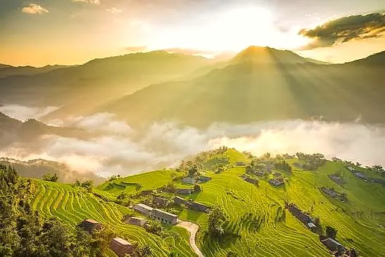
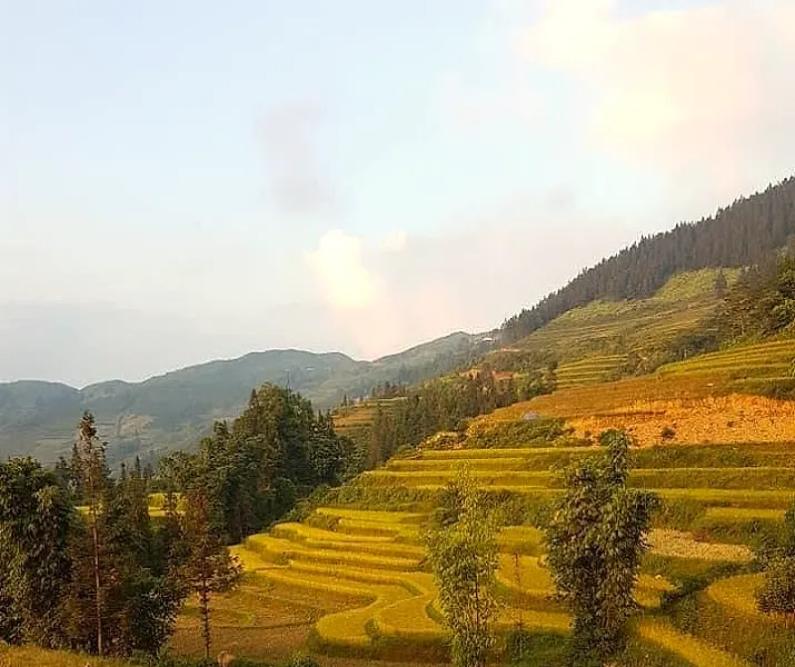
The day after the cable car, the itinerary drops you onto the valley floor and walks you down through Y Linh Hồ to Tả Van. This is deliberate, and it is the part of the sequence we would not change. Having seen the altitude bands from above, you spend a day inside the lowest one — the cultivated band, where the forest was cleared long enough ago that nobody alive remembers it standing, and where the water that fell as cloud on the fir belt arrives as irrigation, running terrace to terrace through bamboo notches cut in the bunds.
Our guide on the trek is from the valley and will point out which slopes were cardamom and which were forest twenty years ago, which is not information that survives on a signboard. Lunch is cooked in a Giáy house at Tả Van: free-range chicken, foraged greens, sticky rice, and whatever the household has that week. You eat it while looking up at the ridge you were standing on the previous afternoon, which is the whole point of doing the two days in that order.
The mountain reads differently from the bottom. Less like a record-holder, more like a watershed with a name borrowed from a medicinal root.